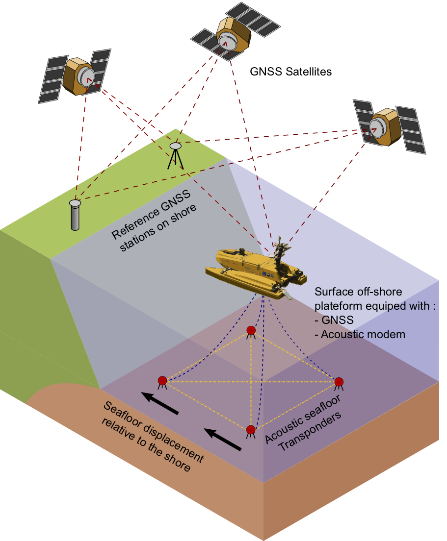
If the oceans are at the heart of climate change and biodiversity issues, they are also the seat of essential telluric processes in the internal dynamics of our planet. They are also the source of telluric hazards (earthquakes, volcanoes, landslides) impacting the coasts and the growing population they host.
The Marmor project (Marine Advanced geophysical Research equipment and Mayotte multidisciplinary Observatory for research and Response), funded under the PIA3-ESR-Equipex+21 call for proposals, aims to build the elements of a community infrastructure to study telluric hazards, image Earth structures and respond to emerging challenges in the field of environmental, ocean and climate sciences.
Over the past decade, the Résif Research Infrastructure has provided a framework for the national community to modernize and expand ground-based geophysical observations. Extending this approach and the experience of Résif to the 70% of our Planet’s marine environment is one of the major challenges for our community in the coming decades.
The Marmor project is structured in five axes:
- Axis 1: Underwater geodesy
- Axis 2: Rapid response to seismic and volcanic crises
- Axis 3: Regeneration of seabed seismometer parks (OBS)
- Axis 4: Research and development in optical fiber
- Axis 5: Underwater observatory off Mayotte
To know more about it
Read the full article in the Résif Newsletter n°18 of December 2020 (french)


